claonaig to clachan
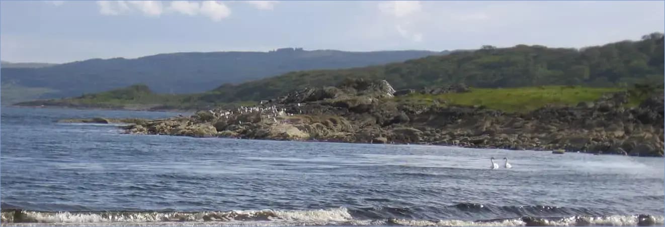
Claonaig is a village a mile south of Skipness and the location of the seasonal ferry for Arran. The terminal has a car park and shelter for the bus service to Tarbert. The nearest villages are Tarbert, Skipness and Carradale. To the south, Campbeltown can be reached via the B842 coast road or the B8001 and the A83.
Distance: 10 miles. Allow 5–7 hours. Suitable for walking, running and cycling* (we recommend that cyclists check route descriptions during planning. Some bits of this section will be boggy – check OS map for alternative or adjoining tracks). A mixture of paths and tracks with some open views. There are no shops or accommodation until you reach Clachan Village. Please take all provisions with you before you start. Claonaig to Clachan: Map | Kintyre Map | Walk and Ride leaflet